By: Nana Appiah Acquaye
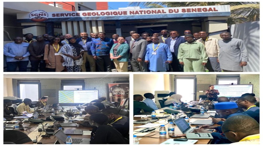
Senegal
has taken a step toward advancing the use of artificial intelligence in
geospatial analysis through a technical capacity-building workshop held from
March 24 to 26, 2026.
The
training, hosted by the National Geological Survey of Senegal, focused on the
application of artificial intelligence to geospatial data, commonly referred to
as GeoAI, and brought together technical experts and decision-makers from
various institutions.
The
initiative was implemented under the Senegal-Canada Technical Assistance
Partnership, supported by Global Affairs Canada through Natural Resources
Canada, in collaboration with the Interinstitutional Group for Consultation and
Coordination in Geomatics.
Participants
explored the principles and practical applications of GeoAI, including its role
in improving public decision-making. Sessions covered a range of topics such as
machine learning, deep learning techniques, and advanced geospatial analysis,
including data classification, segmentation, and change detection.
The
workshop also addressed strategic, organizational, and ethical considerations
associated with the adoption of artificial intelligence in geospatial systems,
while facilitating discussions on national priorities, data availability, and
potential use cases tailored to Senegal’s context.
Officials
say the training represents a significant milestone in strengthening national
expertise and integrating innovative technologies into geospatial information
systems.
The
initiative aligns with the implementation of Senegal’s National Artificial
Intelligence Strategy, aimed at leveraging emerging technologies to enhance
governance, planning, and sustainable development.