GSSTI urges practical use of satellite data to drive national development
Date: 2026-03-31
By: Nana Appiah Acquaye
The Director of the Ghana Space Science and
Technology Institute (GSSTI), Dr. Joseph Tandoh, has called for a shift from
theoretical discussions to practical applications of satellite and
Earth-observation data to enhance national development.
Dr.
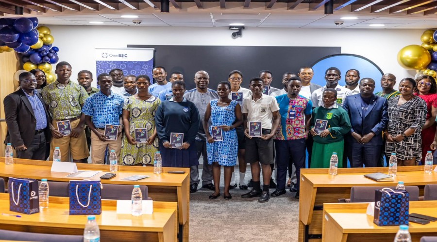
Tandoh made the remarks during the opening of a two-day multi-institutional
stakeholder engagement organized by GSSTI of the Ghana Atomic Energy Commission
in collaboration with Digital Earth Africa (DE Africa) in Accra. The event
brought together government agencies, private sector players, and development
partners to explore how satellite data can support agriculture, mining
regulation, disaster management, health, and environmental protection.

“The
time has come to move beyond talk and deliver practical solutions that impact
the daily lives of Ghanaians. Satellite data should not end on presentation
slides. It must be applied to challenges such as agricultural productivity,
flood and drought forecasting, coastal monitoring, land administration, and
climate resilience,” Dr. Tandoh said. He emphasized that the call aligns with
Ghana Space Policy, which identifies space science and Earth observation as
strategic tools for national development and stresses the need for stronger
coordination among government institutions, academia, and research bodies.
Dr.
Tandoh added that GSSTI, as the national coordinating institution for space
science activities, is committed to bridging the gap between satellite data
access and computing infrastructure for institutions that need the data to
generate actionable insights. “GSSTI cannot do this alone. We need all
stakeholders—ministries, government agencies, academia, and the private
sector—to work together and develop practical pilot projects that show real
value,” he said.

Highlighting
specific applications, Dr. Kofi Asare, Centre Manager of Remote Sensing and
Climate Change, noted that satellite-derived indicators such as soil moisture
and vegetation health now allow for precise detection of stress on farmland.
“The farmer no longer needs to guess. We can identify the exact part of the
field with a problem and direct interventions precisely where they are needed,”
he said.
Dr.
Asare also emphasized the use of satellite data in monitoring natural
resources, particularly in mining-affected areas. “From sampled data between
2008 and 2024, nearly 60,000 hectares of land has been converted to mining; we
can map it, monitor it, and quantify the impact using satellite data and
Artificial Intelligence,” he explained. He further called for strengthened
collaboration within Ghana’s Group on Earth Observations (GhanaGEO) community
to maximize the benefits of Earth-observation technologies for national
development.