Ghana promotes use of satellite data for climate and development planning through EO training workshop
Date: 2026-03-31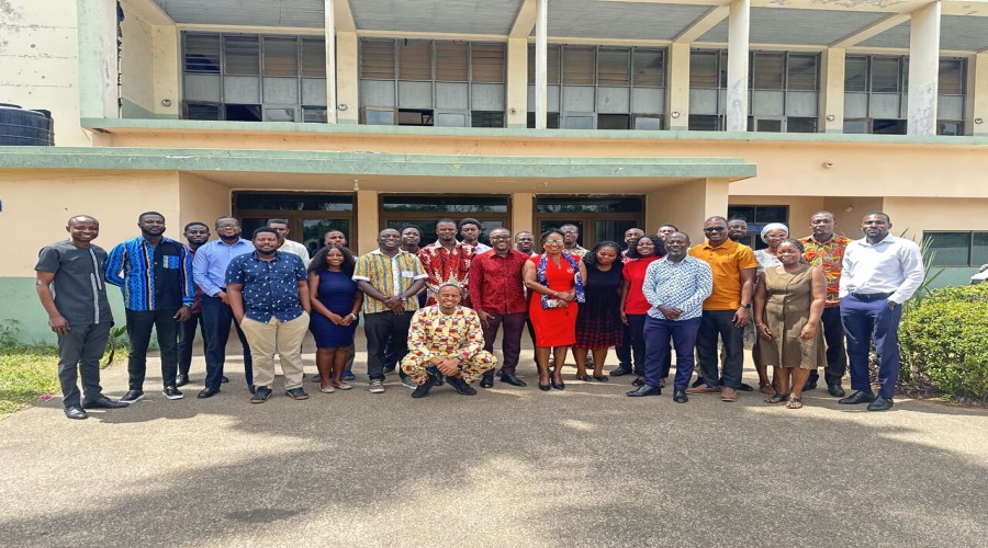
By: Robert Kwaku Annor
Stakeholders
across Ghana’s public and private sectors are strengthening their use of
satellite-based data to address pressing environmental and development
challenges following a two-day Earth observation (EO) training workshop held in
Accra.
The workshop, convened by Digital Earth Africa and the Ghana Space Science and Technology Institute,
brought together 22 representatives from government agencies, research
institutions, and private sector organizations to enhance capacity in the use
of EO data for decision-making.

Participants engaged in sessions
aimed at mapping institutional needs, identifying gaps in EO data usage, and
developing Ghana-specific use cases aligned with national priorities. The
training also introduced stakeholders to Digital Earth Africa’s open-access
platform, with hands-on exercises covering applications such as crop health
monitoring, water resource management, urbanisation, coastal erosion, land
degradation, and surface mining detection.
Discussions highlighted the growing
importance of satellite data in addressing key national concerns, including
illegal mining, deforestation, and water resource degradation. Several
institutions identified EO tools as critical for monitoring “galamsey” activities,
which continue to impact forests and river systems.
The Ghana
Cocoa Board underscored the role of satellite-based traceability systems
in meeting the European Union’s Deforestation Regulation, which requires proof
that cocoa exports are not linked to deforestation. Meanwhile, the Ghana Statistical Service highlighted the
potential of higher-resolution satellite imagery to improve mapping accuracy
for the 2030 national census.

The workshop also reinforced the role
of GSSTI as a potential hub for expanding EO adoption in Ghana and across West
Africa, particularly in academic and research settings.
Organisers
indicated that follow-up activities will include additional training sessions,
on-site technical support, and expanded collaboration with universities and
partner institutions, as efforts continue to scale the use of Earth observation
data for climate resilience and sustainable development.